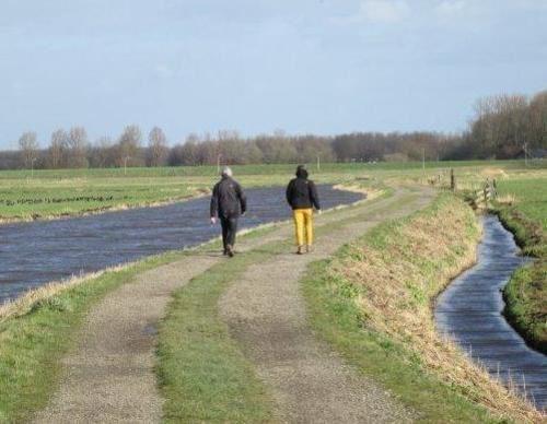
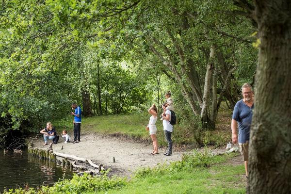
The walking network in North Holland offers walkers opportunities for a healthy, sporty and interesting walk in beautiful North Holland. The various walks run through beautiful landscapes, ribbon villages and nature reserves, along farmland paths, centuries-old dikes and past historic locations. You can start walking directly from one of the starting points, where you can choose from several marked routes. You choose the length and environment of your walk. The walking network gives you a lot of convenience and walking pleasure. New routes are added every year, so that the walking network in North Holland offers more and more possibilities. Various routes of the walking network can be started from the Helderse Vallei: – The green Mariëndal route (2.15 km) is a short exploration of this wooded valley. – The blue Donkere Duinen Route (6.1 km) runs over the 17th-century Zanddijk and the foredune and through the Donkere Duinenbos. – The red Grafelijkheidsduinen route (8.72 km) runs along the foredune to Fort Kijkduin in Huisduinen. Return via the eastern edge of the Grafelijkheidsduinen and the Donkere Duinenbos. – The orange Koegras route (9.4 km) runs through the bulb fields of the Koegras polder to De Zandloper beach in Julianadorp aan Zee. Back through the North Dunes. – The yellow Nolletjes route (11.4 km) takes you to the Liniedijk and the green ravelin of Fort Dirksz. Admiral of the Defense Line of Den Helder. Furthermore, to the undulating salt marsh dunes or ‘nolls’ at Den Helder-Zuid station. – The black Helderse Vallei route (2.63 km) explores the southern edge of the dune area and the adjacent Mariëndal nature reserve. You can view the map with all the above routes via this link. More information about the walking network can be found at www.wandelnetwerknoordholland.nl

Hiking Network Noord-Holland
Nearby locations
-

Dansschool Corma
- Location
- Den Helder
- Today's opening hours
- Open today
Dance lessons, parties and hall rental under one roof in Den Helder
-

Cinema Zevenskoop
- Location
- Den Helder
Cinema Zevenskoop is een gezellig filmhuis met een intieme sfeer. We vertonen elke week een film die op een of meer manieren extra mooi is. Vaak zijn het prijswinnende films met prachtige beelden, geweldige acteurs en/of een belangrijk verhaal. Wij ontvangen veel Helders publiek, maar ook mensen van buiten de stad weten ons te vinden. En mensen die alleen komen, vinden gemakkelijk aanspraak, over de film of iets anders. Kom gewoon eens naar Zevenskoop voor een leuk avondje uit! De entreeprijs is € 9,00
-

Canoe rental Den Helder (Stand up Peddeling)
- Location
- Den helder
Canoe rental Den Helder is located at The Helderse Vallei, the center of all canoe routes that Den Helder and Julianadorp are rich in. From here you can see all sides. In addition to the 4 well-defined routes, there are several waterways that are excellent for canoeers and SUPpers (stand up peddeling). We offer single and double canoes and kayaks and triple Canadian canoes. You can also rent longboards and SUP's and we also provide SUP and canoe clinics.
-

Openluchttheater Helderse Vallei
- Location
- Den Helder
- Today's opening hours
- Always open
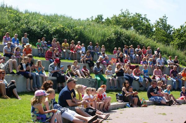
Stage in the green: from school performance to summer concert evening
-

Station Den Helder Centraal
- Location
- Den Helder
Station Den Helder Centraal brengt je in het hartje van Den Helder. Vanaf hier wandel je richting het gezellige stadshart van Den Helder met vele leuke winkels en restaurants. Ook voormalige Rijkswerf Willemsoord ligt een steenworp afstand van het station.
-

Bos De Donkere Duinen
- Location
- Den Helder
De Donkere Duinen is een aangeplant dennenbos. Landschap Noord-Holland zorgt door middel van beheers-ingrepen dat het wordt omgevormd naar een afwisselend, natuurlijker bos.
-

Fort Westoever
- Location
- Den Helder
- Today's opening hours
-
Open today from
12:00 until 22:00
Beer, burgers and karaoke in a historic location in Den Helder
-

Fairtransport Shipping
- Location
- Den Helder
Fairtransport is the name of the on Willemsoord established alternative shipping company as a quality indicator for clean transport. The motorless sailing ship Tres Hombres already sails five years the sustainable trade route between Europe and the Caribbean. A second ship, the Nordlys IV will operate from March 2015 the European coast.
-

Den Helder Airport CV
- Location
- Den Helder
