


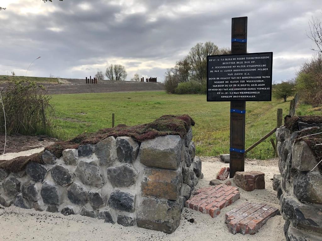
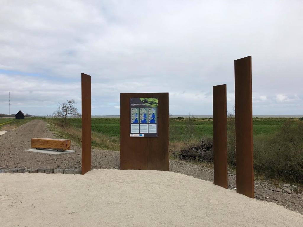
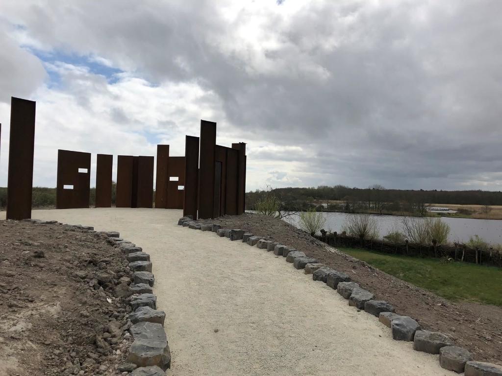
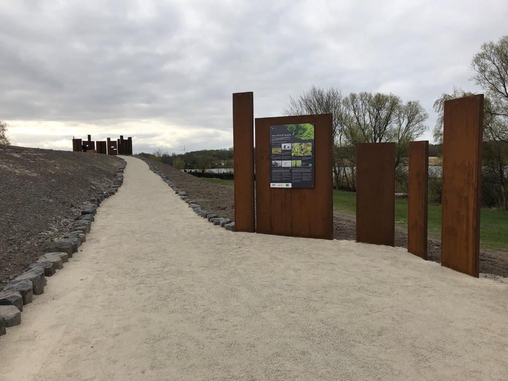
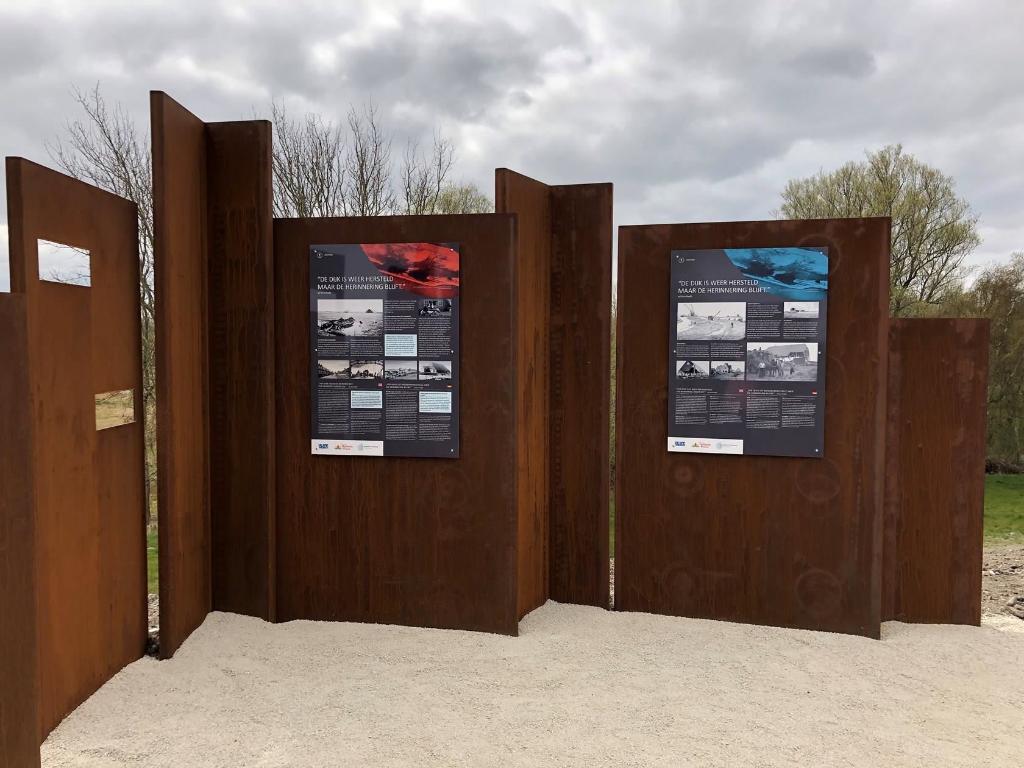
On April 17, 2020, it will be 75 years ago that the Noorderdijk near the Dijkgatsbos was destroyed during the Second World War. This created a hole in the dike and the Wieringermeer was flooded. After the Second World War a nature reserve was created here called “De Wielen” with the remains of a foundation of a farm that stood there. Because of this historically important place and we celebrate 75 years of freedom in 2020, we make this area visible to visitors. This in collaboration with Staatsbosbeheer and the Hoogheemraadschap Hollands Noorderkwartier. On the old dike, which had been breached at the time, an access path is made with a lookout point at the end. From this point you have a view of the water with the foundation of a farm that stood on the site of the dike breach.


Uitkijkpunt Gat in de dijk
Nearby locations
-

Zorgboerderij Dijkgatshoeve
Monday to Friday from 9.30am to 12.30pm. Closed on weekends and during school holidays. In our farm shop we sell organic products from our own land.
-
Historische Gesellschaft Wieringermeer
The Historical Society Wieringermeer includes promoting the knowledge of and interest in the history of Wieringermeer. You can visit the exhibition and our hostesses/ men, are happy to explain you about our rich history.
-
Dijkmagazijn
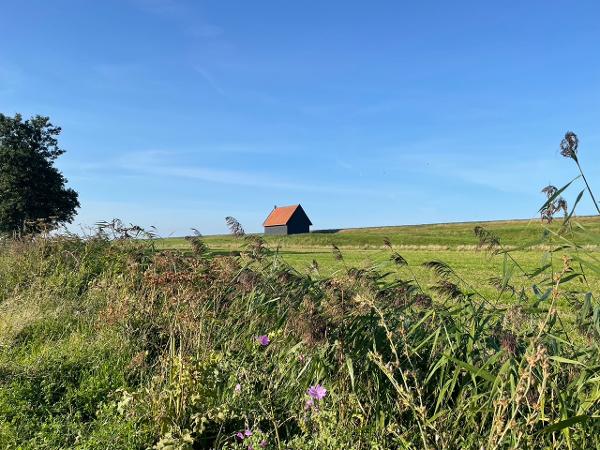
There are two dike warehouses in the municipality of Hollands Kroon.
-
Farmshop Wieringerwerf
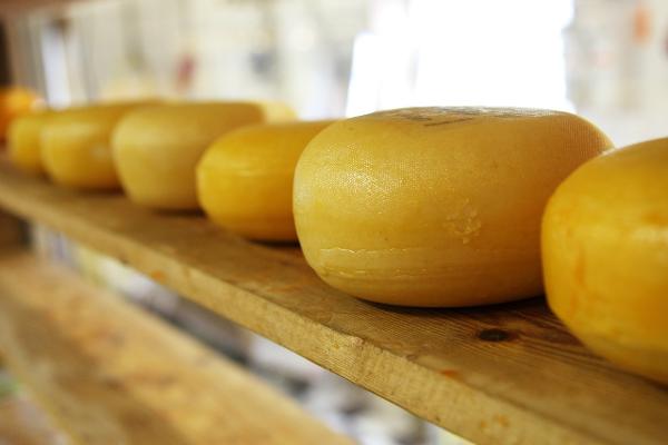
Come to the farm shop in Wieringerwerf. A cozy and cozy shop where various (regional) products are sold. These include different types of Beemster cheese fresh from the knife, meadow meat and milk from our own cows, handmade chocolate, fudge, jams, ice cream and dairy, garlic, scallop juices, potatoes, onions and, for example, birthday and business gifts and much more. . There is also the opportunity to get a fresh coffee or tea with a delicious slice of apple pie! See you at our shop at the Oosterkwelweg
-
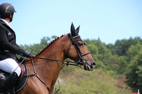
Ruiterroute Dijkgatbos
In the mood for a relaxing ride through the greenery? This 3.7-kilometer loop bridle path near the Dijkgatbos takes you through a peaceful, natural environment in the northernmost part of North Holland.
-
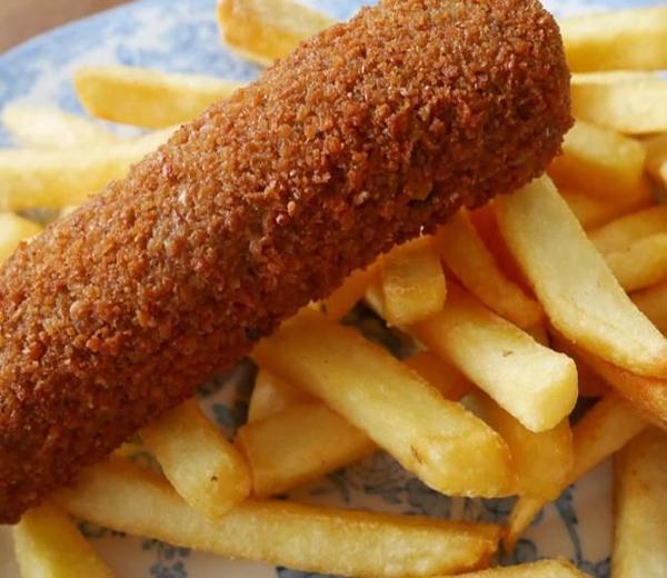
La Hormiga
-
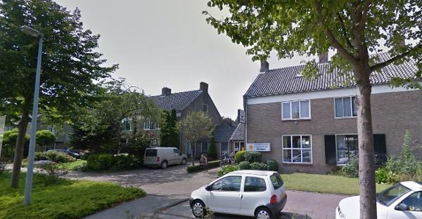
Solar studio-Center Monique
Unique combination of a solar studio and beauty salon in the city center of Wieringerwerf.
-
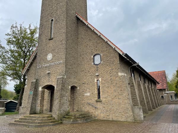
De Samenstroom
Op initiatief van ir. Lely viel in 1930 de Wieringermeerpolder droog. De kerk is in 1938 ontworpen door E.J. Rothuizen en gebouwd door L. Schotte. In 1945 heeft de kerk onder water gestaan omdat de Duitse bezetter de dijk had opgeblazen. De schade was enorm. Na de bevrijding viel de polder eind 1945 voor de tweede keer droog. In 1947 is de kerk herbouwd. In 2002 zijn de Gereformeerde- en Hervormde kerk samen gegaan. Vandaar de naam ‘De Samenstroom’.
-
Winkelcentrum Wieringerwerf
The shopping center of Wieringerwerf has different types of shops and you can park for free here. Clothing, flowers, gifts, groceries: you will find it all there.