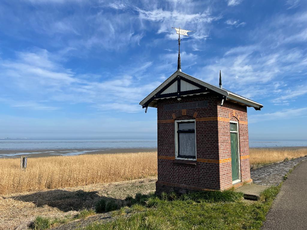
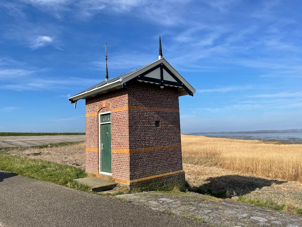
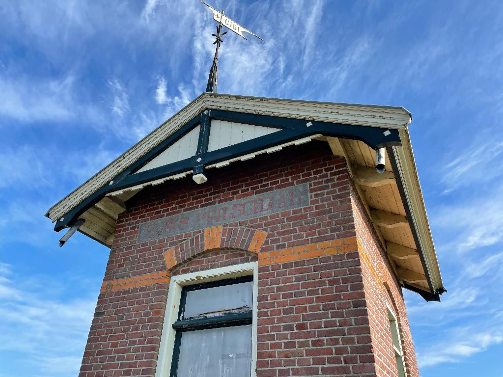
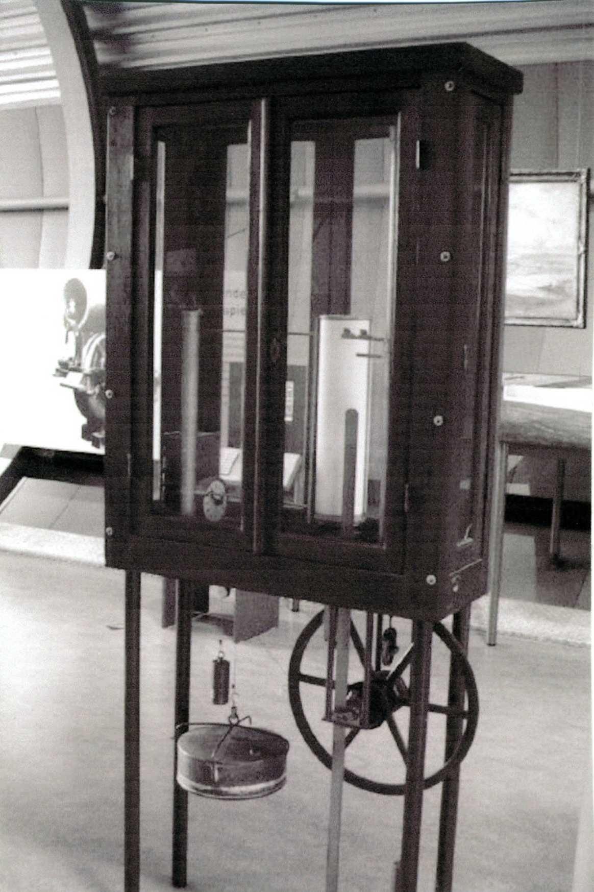
TThis gauge house is one of the two gauge houses on Wieringen. The other is located on the Havenkade in Den Oever. Both gauge houses date from 1919. They were built on behalf of Rijkswaterstaat and were used to record the water level. There were more along the coast. How does the level recorder work? The sounding houses contained a level recorder that worked according to a simple principle. Seawater came through a pipe into a well in the house, in which there was a float that moved up and down with the changing water levels. The float actuated a pen that wrote on a sheet of paper stretched on a roll. A clock powered the roll of paper. An official regularly came to wind the clock and change the paper on the roll. The recorded water levels were sent to Rijkswaterstaat. The gauge houses on the former island of Wieringen were built before the construction of the Korte Afsluitdijk towards Van Ewijcksluis and the large Afsluitdijk towards Friesland. This provided insight into the influence of the construction of those dikes on the water levels. After the Second World War, the computer took over the measuring work and the houses became superfluous. Valuation The gauge house is of cultural and architectural-historical value. It is a well-preserved example of the gauge houses from the first quarter of the 20th century that were built by the Dutch government. It is an element in the history of water management in the Netherlands Sources – Register of monuments via www.monumentenregister.cultureelerfgoed.nl – Wikipedia via www.wikipedia.nl

Peilschaalhuisje Westerland
Nearby locations
-
Jan Rotgans
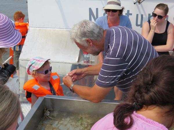
Boat trips at the Wadden Sea with Jan Rotgans.
-

Wieringer IJssalon
With traditionally made ice cream in many changing flavors, every visit is a party!
-
De Damsterberg
A cozy and comfortable holiday in Westerland. The apartment is suitable for 4 persons. Through a private entrance you enter the Damsterberg. The living room has interactive television, WiFi, a cozy sitting area and dining area, followed by an open kitchen. The entire apartment has underfloor heating.
-
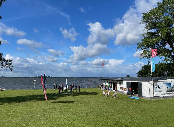
Wingfoil Amstelmeer
Gratis parkeren, gras om je spullen klaar te leggen en een zandbodem waarbij de eerst 100 ondiep is en de rest van het meer diep. Een Wingfoil school voor lessen en verhuur en... hele goede wind!
-
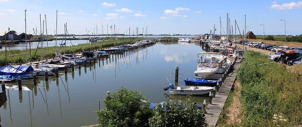
Marina De Haukes
The Watersport Vereniging Amstelmeer has both certified courses, competition events and a fun component that often goes together. In the summer months there is a competition against each other on Tuesday evening, with a pleasant discussion afterwards at the bar in the clubhouse, where the sausage is cut by the person who draws the winning fate. Several times a year competitions for sailing boats and tours for motor boaters are organized such as the opening championships, 4-port competition, dab race, eel race etc.
-
Potteriemorie
On our website www.potteriemori.nl you will find all kinds of nice articles for the house and in the garden. You can also come to our store for nice gift items.
-
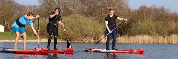
SUP school Westerland
Stand Up Paddle SUP school. The range of lessons consists of private lessons, lessons for groups and various courses and training.
-
Camping Terra Incognito
Camping Terra Incognito is gelegen op het meest westelijke puntje van het onontdekte voormalige waddeneiland Wieringen. Het is perfect voor degenen die nieuwe ervaringen willen opdoen en deze willen delen met gelijkgestemde avonturiers. Ontsnap aan de drukte en ontdek deze verborgen parel. Verken het schilderachtige boerenland, geniet van het zonnestrand aan het Amstelmeer en ervaar de dynamiek van de Waddenzee.
-
circular walk Westerland from Wieringen
Walking route of Landscape North Holland. Walking route on the western tip of the former island of Wieringen. Wieringen is a "hidden" Wadden Island full of traces of the last ice age. Due to the closure of the Amsteldiep in 1924, the construction of the Afsluitdijk and the Wieringermeerpolder, Wieringen merged into the Noordkop. But it is still full of hidden stories, old villages, height differences, hollow roads, extensive meadows.